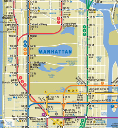
If you’re a city-dweller like me–or even a city visitor–HopStop is definitely a lifesaver. This site offers an easy way to get transition directions by subway, cab, bus, or even by foot. (Although truly, it’s the subway that gets the most use on my laptop.)
However this week I noticed a whole new feature they added that makes it even more compelling.
Now when you’re charting the fastest route on HopStop from home to that birthday party across town in more than 50 US cities
(plus some Canadian and European ones), you can see more than just how much time it will take. There are also columns that indicate CO2 savings for having skipped the car; plus calories burnt for the time spent on foot.
So if I’m going from Chelsea Market to Dylan’s Candy Bar, I can see that I saved 1.82 lbs of Carbon Monoxide, and that the 4 minute walk time burns 17 calories. Enough to justify eating a few malted milk balls while I’m there.
It really does make me rethink whether I need to make that transfer instead of walking 6 or 7 more blocks on a gorgeous day. Although I do wonder if it takes into account New York’s switch from the 6 to the A at Fulton Street. That’s got to be like a mile of walking right there.
If you’re already en route, you can make use of the free HopStop app for IOS or for Android–I love that it offers to pull addresses right from your address book, which sorts alphabetically. Super easy. Which is just what I need when I’m late, lost, and my kids are hungry. –Liz
Get transit info at HopStop.com for more than 50 cities, and get the free HopStop app for IOS or HopStop for Android. It’s also a great source for transit maps for more than 50 cities.


